
日時:2018/04/08 DIARY
start 11:23- 14:07 997.2M 14:24-14:53 goal
駐車場所:岩内町敷島の一般廃棄物中間処理施設から鳴神の滝へ進み、幌内川を渡った融雪最終地点
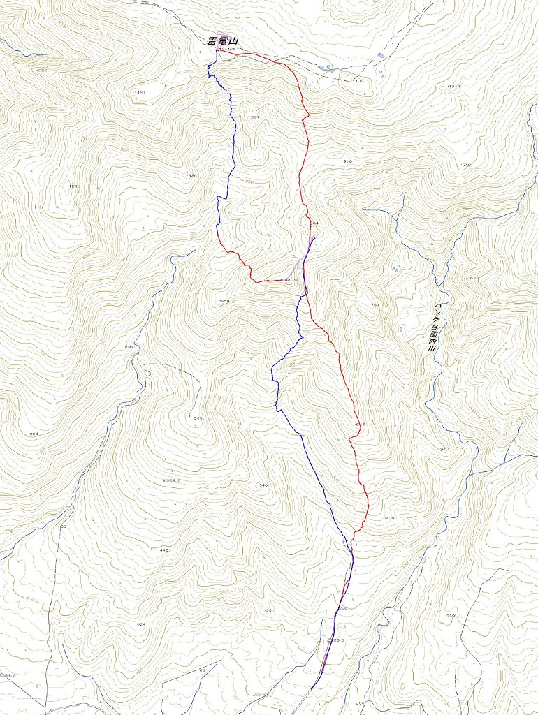
Map of the route “雷電山[鳴神の滝]”: 7,860 m, 985 m of climbing and 1,004 m of descent, elevation between 139 m and 1,005 m, time 03:29:30. It is a loop that starts and ends at 42.95059, 140.47638 (latitude, longitude).

コメント