
日時:2018/01/06 DIARY
start 10:00-12:28 1035M 12:32-13:23 goal
駐車場所:路側を広げて駐車
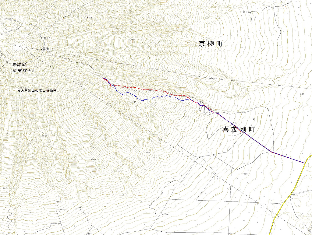
Map of the route “羊蹄山[喜茂別]”: 7,618 m, 845 m of climbing and 895 m of descent, elevation between 327 m and 1,079 m, time 03:20:21. It is a loop that starts and ends at 42.80767, 140.86288 (latitude, longitude).

コメント