
日時:2015/04/25 DIARY
start 06:27-08:40 961M 08:58-10:02 goal
駐車場所:ロープウェイ山麓駅
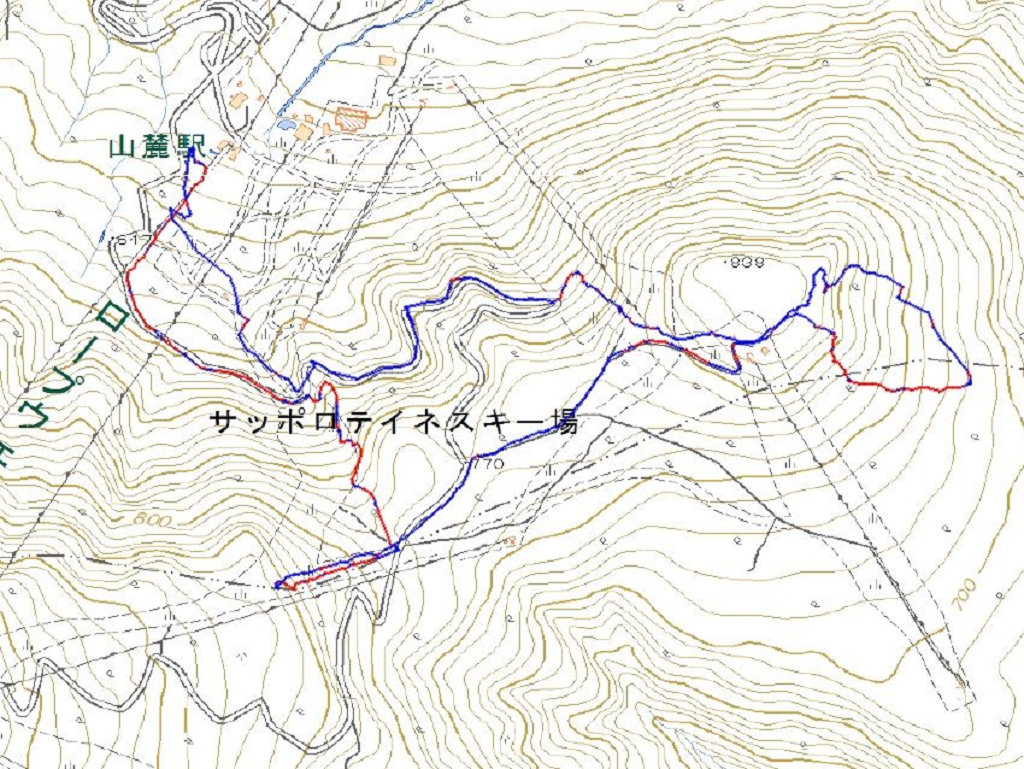
Map of the route “手稲山[西側の.961]”: 7,931 m, 690 m of climbing and 673 m of descent, elevation between 475 m and 955 m, time 03:34:26. It is a loop that starts and ends at 43.08673, 141.19986 (latitude, longitude).

コメント