
日時:2014/12/30 DIARY
start 12:00-14:27 和宇尻山 14:37-15:58 goal
駐車場所:オーンズスキー場
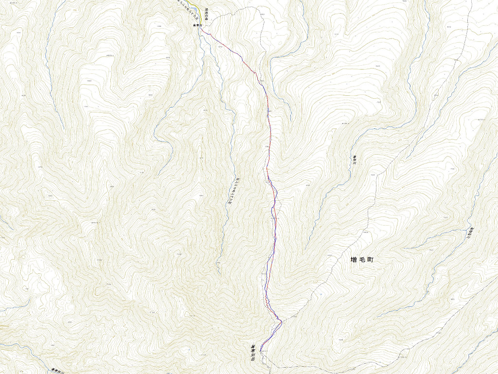
Map of the route “和宇尻山”: 11,769 m, 767 m of climbing and 981 m of descent, elevation between 79 m and 865 m, time 03:58:04. It starts at 43.14093, 141.12295 and ends at 43.14607, 141.13223 (latitude, longitude).
コメント