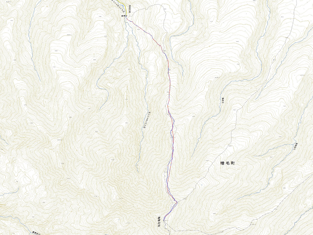
日時:2014/05/03 DIARY
start 06:19-09:58 暑寒別岳 10:18-11:38 goal
駐車場所:暑寒荘
Map of the route “暑寒別岳”: 11,330 m, 1,346 m of climbing and 783 m of descent, elevation between 292 m and 1,490 m, time 04:49:15. It starts at 43.77061, 141.51035 and ends at 43.74560, 141.52466 (latitude, longitude).
※logは途中で切れています


コメント