
日時:2012/03/23 DIARY
start 07:54-11:45 1382M 12:47-15:03 goal
駐車場所:白銀温泉からの除雪終点
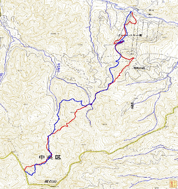
Map of the route “美瑛富士”: 12,401 m, 1,020 m of climbing and 1,038 m of descent, elevation between 637 m and 1,382 m, time 07:09:04. It is a loop that starts and ends at 43.47662, 142.65090 (latitude, longitude).

コメント