
日時:2014/01/19 DIARY
start 09:48-11:24 稲穂嶺 11:41-12:57 goal
駐車場所:JR銀山駅
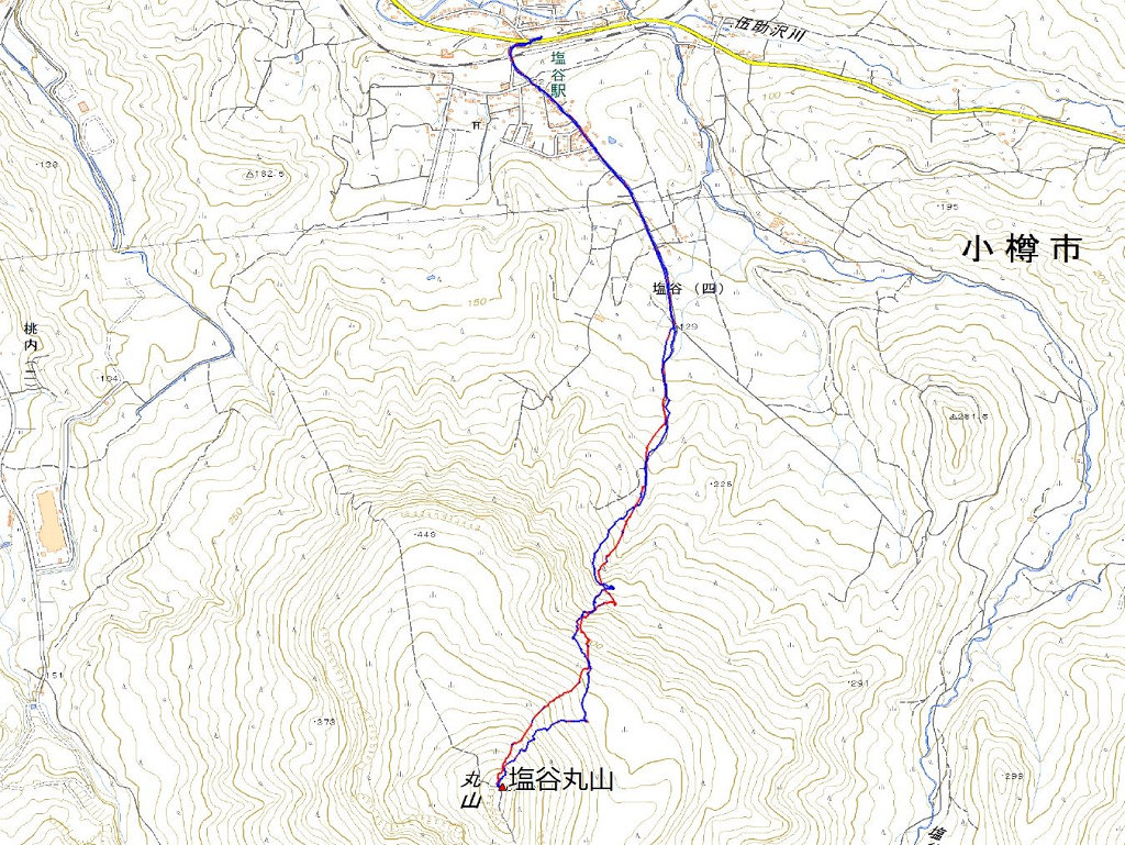
Map of the route “稲穂嶺”: 5,532 m, 753 m of climbing and 733 m of descent, elevation between 125 m and 588 m, time 03:21:15. It is a loop that starts and ends at 43.04062, 140.71578 (latitude, longitude).

コメント