
日時:2015/04/30 DIARY
start 12:17-14:17 ワイスホルン 14:21-14:54 goal
駐車場所:ニセコワイス寶亭留
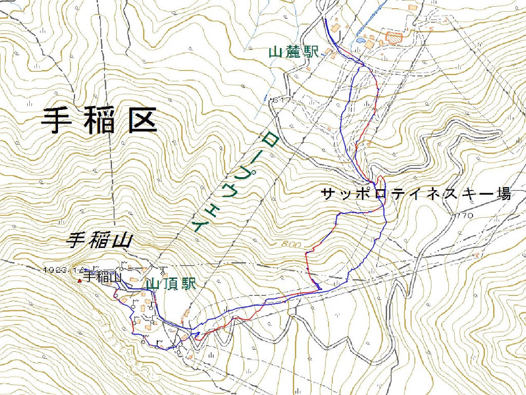
Map of the route “ワイスホルン”: 7,414 m, 752 m of climbing and 745 m of descent, elevation between 442 m and 1,042 m, time 02:36:43. It is a loop that starts and ends at 42.90608, 140.67192 (latitude, longitude).

コメント