
日時:2015/05/09 DIARY
start 07:36-11:15 積丹岳 12:04-14:23 goal
駐車場所:林道の融雪終点
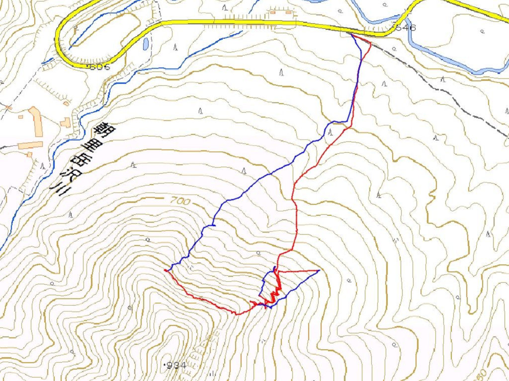
Map of the route “積丹岳[婦美]”: 13,728 m, 1,194 m of climbing and 1,193 m of descent, elevation between 300 m and 1,257 m, time 06:46:52. It is a loop that starts and ends at 43.29206, 140.53289 (latitude, longitude).

コメント