
日時:2016/02/11 DIARY
start 10:13-12:32 トマム山 12:45-14:03 goal
駐車場所:JRの高架を抜けたスペース
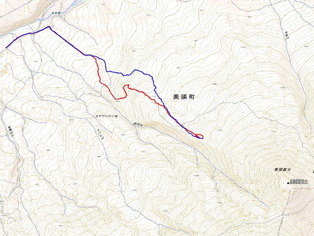
Map of the route “トマム山[南斜面スキー場跡]”: 7,180 m, 949 m of climbing and 895 m of descent, elevation between 450 m and 1,184 m, time 03:48:06. It is a loop that starts and ends at 43.05492, 142.59997 (latitude, longitude).

コメント