
日時:2017/03/19 DIARY
start 09:17-11:30 1867M 11:30-14:23 goal
駐車場所:旭岳ロープウェイ山麓駅の駐車場
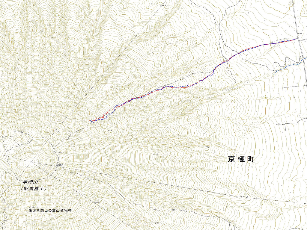
Map of the route “当麻岳[小塚]”: 13,482 m, 915 m of climbing and 1,491 m of descent, elevation between 1,070 m and 1,873 m, time 05:11:01. It starts at 43.66252, 142.82585 and ends at 43.65110, 142.79861 (latitude, longitude).

コメント