
日時:2022/04/10 DIARY
start 08:05-12:00 積丹岳 12:17-13:36 Goal
駐車場所:美国川沿いの除雪終点
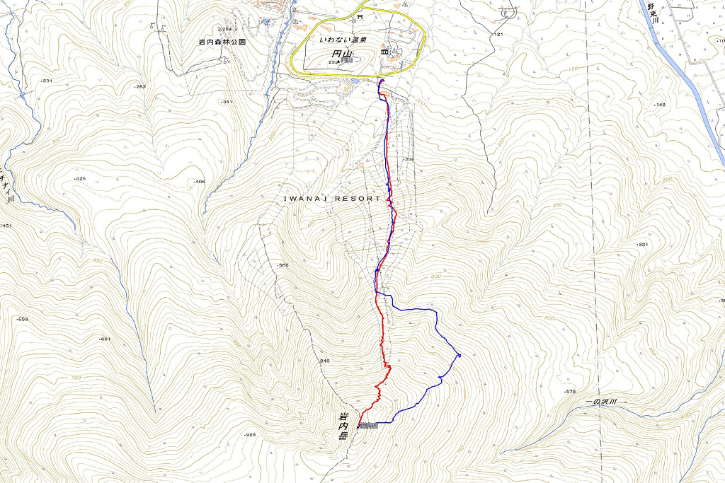
Map of the route “積丹岳[東尾根]”: 29,830 m, 9,928 m of climbing and 9,934 m of descent, elevation between 118 m and 1,262 m, time 05:30:21. It is a loop that starts and ends at 43.26520, 140.55198 (latitude, longitude).

コメント