
日時:2017/05/03 DIARY
start 09:14-11:40 目国内岳 12:03-13:19 goal
駐車場所:新見峠岩内側ゲート
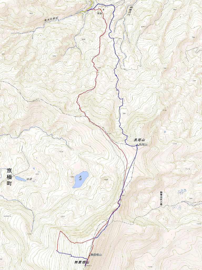
Map of the route “目国内岳[北斜面]”: 12,523 m, 1,106 m of climbing and 1,112 m of descent, elevation between 571 m and 1,225 m, time 04:03:31. It is a loop that starts and ends at 42.91390, 140.55993 (latitude, longitude).

コメント