
日時:2017/01/07 DIARY
start 11:02-12:59 950M 13:13-14:48 goal
駐車場所:エコーラインの除雪終点
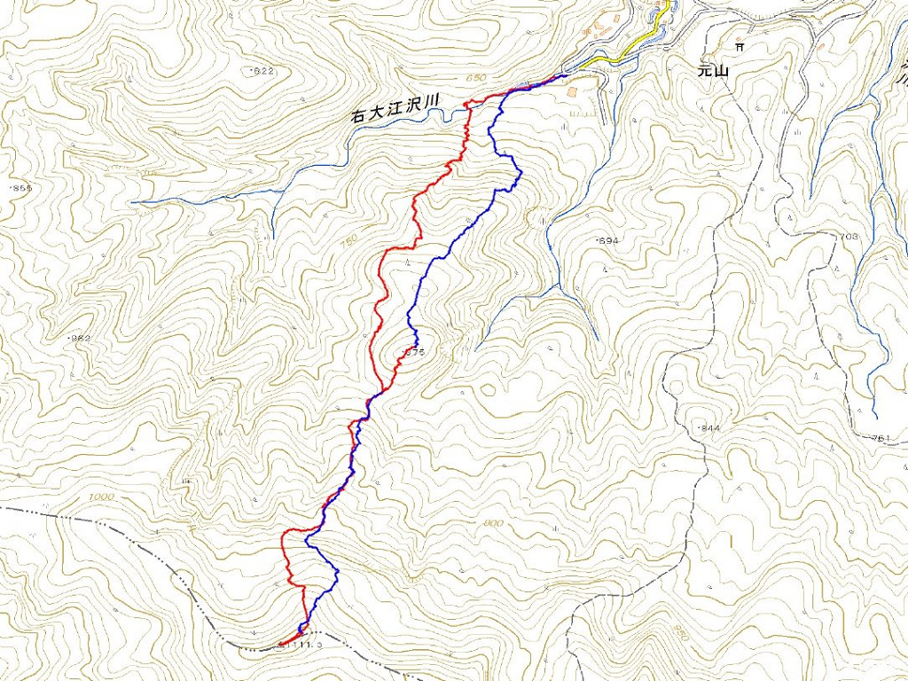
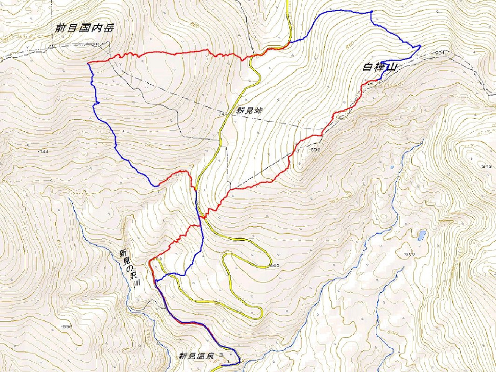
Map of the route “ワイスホルン[南東尾根]”: 6,840 m, 630 m of climbing and 621 m of descent, elevation between 504 m and 957 m, time 03:15:51. It is a loop that starts and ends at 42.90083, 140.66482 (latitude, longitude).
コメント