日時:2017/01/04 DIARY
start 09:33-12:04 大沼山 12:16-13:49 goal
駐車場所:豊羽鉱山のゲート前(手前の急カーブは駐禁です)
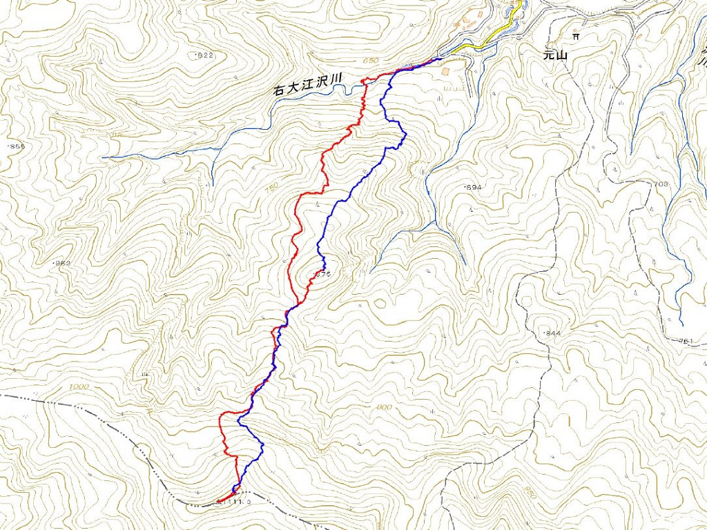
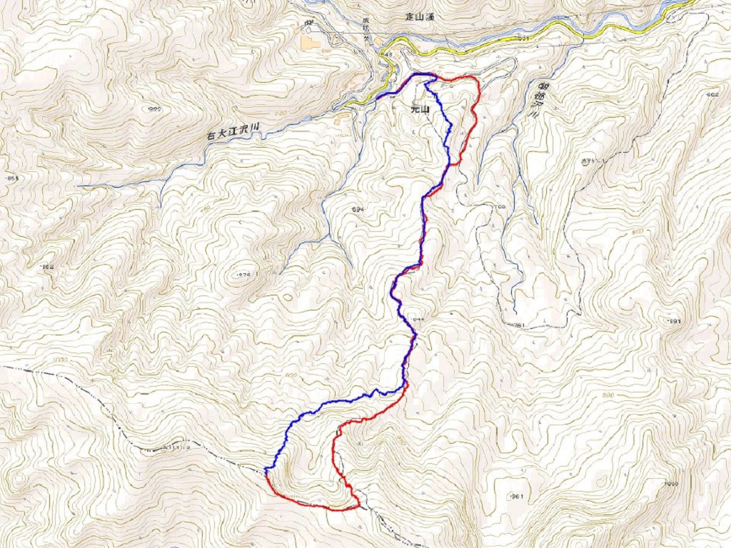
Map of the route “大沼山”: 6,742 m, 1,079 m of climbing and 1,100 m of descent, elevation between 585 m and 1,138 m, time 04:21:54. It is a loop that starts and ends at 42.97872, 141.03750 (latitude, longitude).

コメント