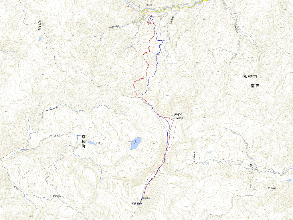
日時:2012/05/02 DIARY
start 08:43-12:14 無意根山 12:42-14:10 goal
駐車場所:無意根山荘跡
Map of the route “無意根山”: 15,655 m, 1,092 m of climbing and 1,076 m of descent, elevation between 601 m and 1,458 m, time 05:24:28. It is a loop that starts and ends at 42.98055, 141.04411 (latitude, longitude).


コメント