日時:2013/12/30 DIARY
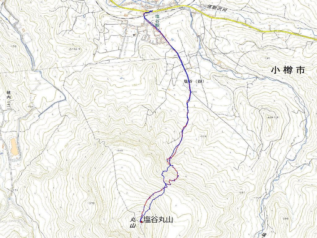
start 09:37-11:43 塩谷丸山 11:56-12:51 goal
駐車場所:JR塩谷駅
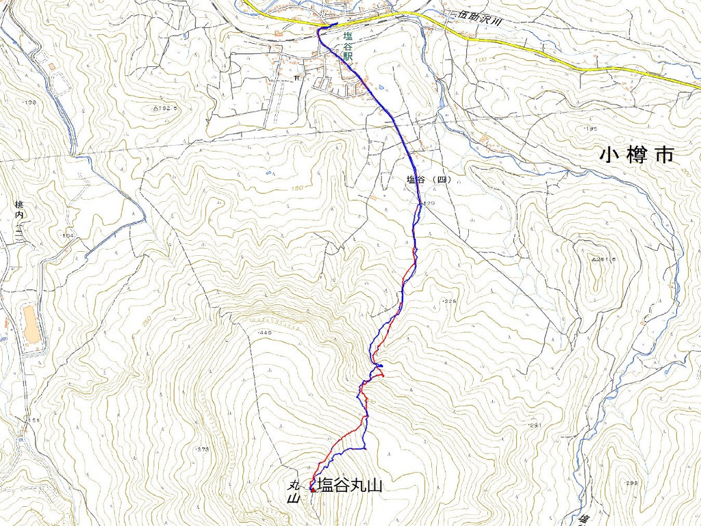
Map of the route “塩谷丸山”: 7,275 m, 758 m of climbing and 844 m of descent, elevation between 42 m and 664 m, time 03:15:04. It is a loop that starts and ends at 43.20274, 140.92398 (latitude, longitude).

コメント