
日時:2013/12/18 DIARY
start 10:09-11:48 846M 11:57-12:20 goal
駐車場所:道路脇の除雪帯
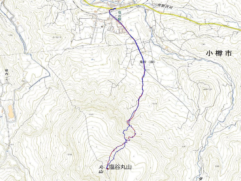
Map of the route “白井岳[北東尾根末端]”: 3,623 m, 462 m of climbing and 454 m of descent, elevation between 552 m and 849 m, time 02:25:03. It is a loop that starts and ends at 43.07487, 141.09419 (latitude, longitude).

コメント