
日時:2019/03/03 DIARY
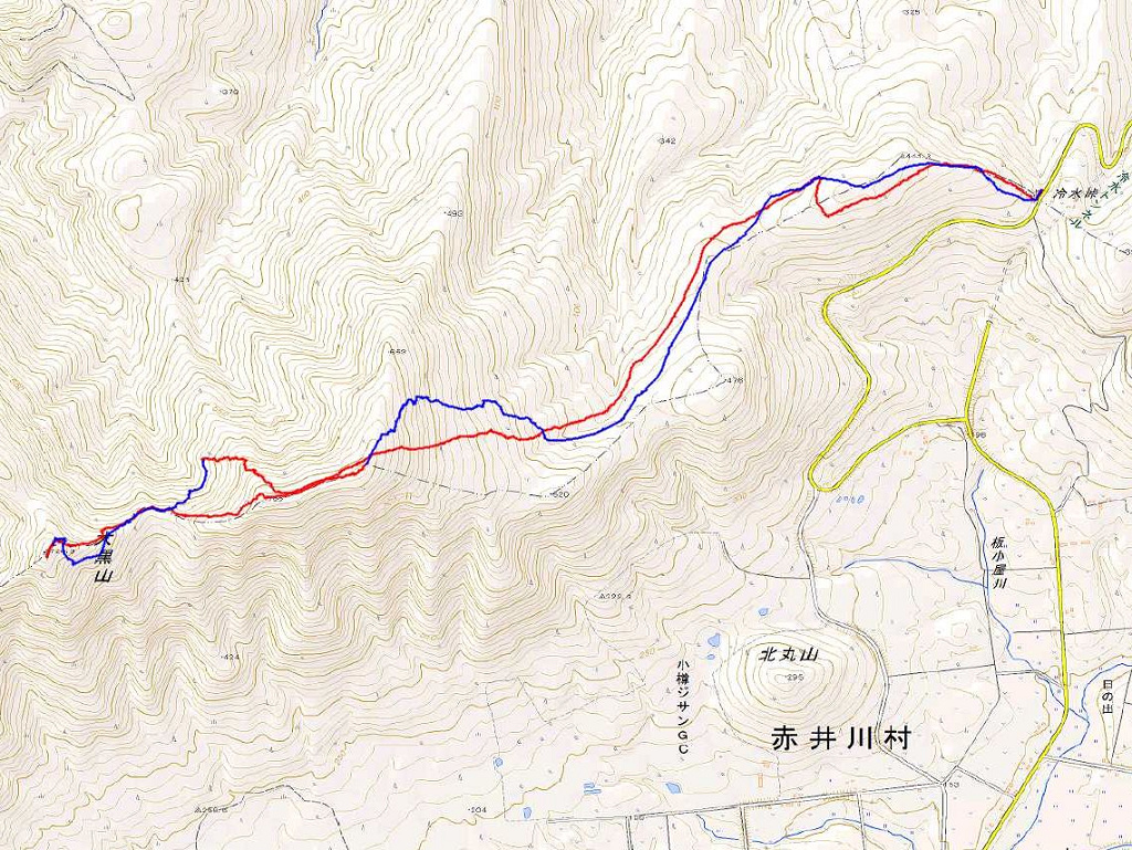
start 09:26-11:17 723M 11:26-12:36 goal
駐車場所:冷水峠の除雪最終地点
Map of the route “恵比寿山”: 8,445 m, 622 m of climbing and 633 m of descent, elevation between 344 m and 733 m, time 03:08:09. It is a loop that starts and ends at 43.11914, 140.82269 (latitude, longitude).

コメント