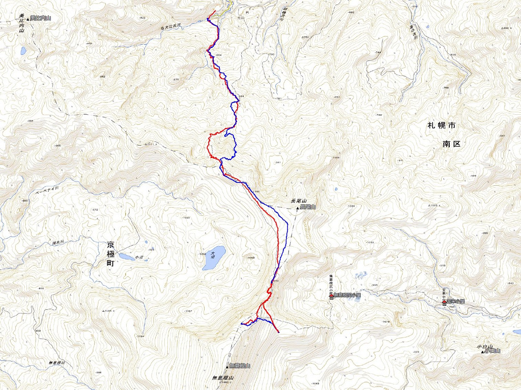
日時:2020/03/29 DIARY
start 08:04-11:12 1376M 11:23-13:28 goal
駐車場所:豊羽鉱山ゲート前
Map of the route “無意根山”: 22,756 m, 6,028 m of climbing and 5,969 m of descent, elevation between 523 m and 1,381 m, time 05:27:32. It is a loop that starts and ends at 42.97985, 141.03883 (latitude, longitude).


コメント