
日時:2020/04/11 DIARY
start 09:59-13:35 モイワ山 13:40-14:19 goal
駐車場所:五色温泉インフォメーションセンター駐車場
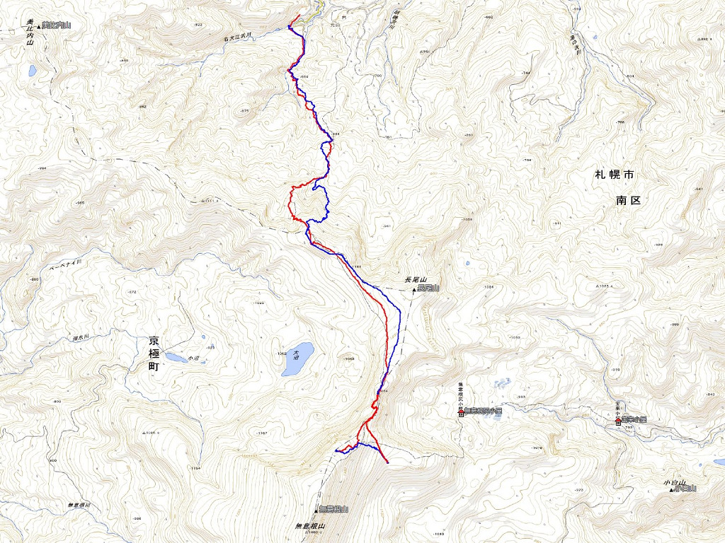
Map of the route “ニセコモイワ”: 9,230 m, 937 m of climbing and 940 m of descent, elevation between 482 m and 1,089 m, time 04:20:00. It is a loop that starts and ends at 42.87410, 140.63944 (latitude, longitude).

コメント